Kern County dental directory

Choose a community to open its own dentist directory. Every community below now has a direct destination; each page labels local listings separately from offices that serve an area from another town.

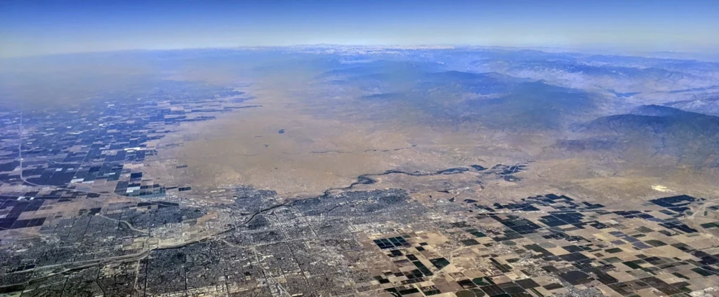
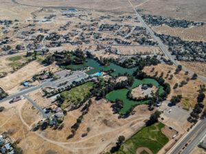
Aerial overview of Bakersfield and Kern River, photographed by Dicklyon CC BY-SA 4.0
Aerial overview of Bakersfield and Kern River; Dicklyon, CC BY-SA 4.0.

All 24 community destinations

Each image card opens the matching city directory. Listings are source-linked where available. An empty local listing means this directory does not yet have a current source-verified office record for that community.

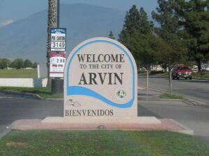
Bilingual Spanish and English welcome sign at the entrance to Arvin, California. Public domain photograph by Jey0h, 2007.
Bilingual community welcome sign; public domain by Jey0h.

Arvin

Local practices listed

Public domain

Aerial overview of Bakersfield and Kern River, photographed by Dicklyon CC BY-SA 4.0
Aerial of Bakersfield and Kern River; Dicklyon, CC BY-SA 4.0.

Bakersfield

Local practice directory

CC BY-SA 4.0

Image from Wikimedia Commons; see source license.
Rio Tinto Boron mine and plant; image credit and license linked on source page.

Boron

Nearby offices shown separately

See source

Buttonwillow Ecological Reserve habitat in Kern County. Photo by Michael Westphal, U.S. Bureau of Land Management, public domain.
Buttonwillow Ecological Reserve; BLM, public domain.

Buttonwillow

Local dental office listed

Public domain

California City Central Park, photographed by Tedder on July 11, 2023. CC BY-SA 4.0.
Central Park; Tedder, CC BY-SA 4.0.

California City

Local dental office listed

CC BY-SA 4.0

Main Street in downtown Delano, California. Photo by Amin Eshaiker, Creative Commons Attribution ShareAlike 3.0.
Downtown Delano; Amin Eshaiker, CC BY-SA 3.0.

Delano

Source-linked local practices

CC BY-SA 3.0

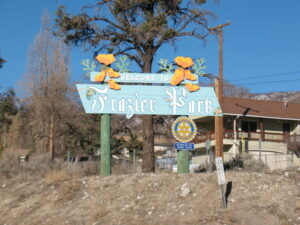
Town entrance sign at Frazier Park, Kern County. Photo by Jey0h, CC BY 3.0.
Frazier Park entrance sign; Jey0h, CC BY 3.0.

Frazier Park

Nearby option clearly identified

CC BY 3.0

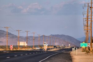
Photo by Marek Ślusarczyk (Tupungato), attributed under its Wikimedia Commons license.
California Route 178 in Inyokern; Marek Ślusarczyk, see linked source.

Inyokern

Nearby Ridgecrest route linked

See source

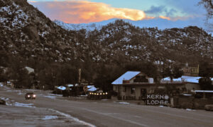
Winter view in Kernville, Kern County. Photo by Kvpics, CC BY-SA 4.0.
Winter in Kernville; Kvpics, CC BY-SA 4.0.

Kernville

Nearby Lake Isabella route linked

CC BY-SA 4.0

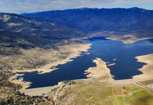
Aerial view of Lake Isabella reservoir and Isabella Dam in Kern County. Photo by John Wiley, CC BY 3.0.
Aerial view of Lake Isabella reservoir and Isabella Dam; John Wiley, CC BY 3.0.

Lake Isabella

Local practice listing

CC BY 3.0

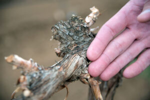
Damaged grape vines in a drought-stricken Lamont vineyard, photographed by David Kosling for the USDA on February 26, 2014. Historical image, not a current conditions report.
Historical Lamont vineyard image by USDA David Kosling, public domain / CC BY 2.0; not current conditions.

Lamont

Local dental office listed

USDA/CC BY 2.0

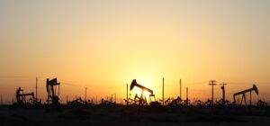
Pumpjacks on the Lost Hills Oil Field. Photo by Arne Hückelheim, Wikimedia Commons.
Pumpjacks on Lost Hills Oil Field; Arne Hückelheim, see linked source.

Lost Hills

No verified local office listed

See source

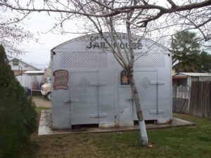
Historic jail house in Maricopa, California. Wikimedia Commons photo; see source license.
Historic Maricopa jail house; see linked source for attribution.

Maricopa

No verified local office listed

See source

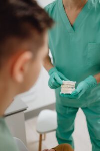
Licensed editorial dental consultation showing real clinician and patient
Illustrative dental consultation photo, not a McFarland office.

McFarland

Nearby Shafter option linked

Pexels

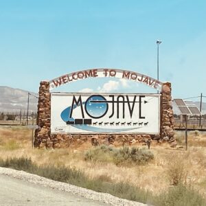
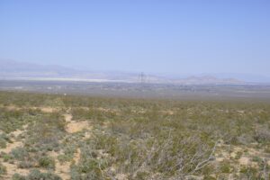
Welcome to Mojave, California sign. Wikimedia Commons image with attribution on source page.
Mojave welcome sign; see linked source for credit and license.

Mojave

Nearby California City option linked

See source

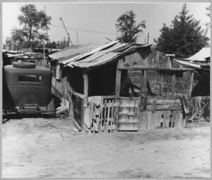
Historical National Archives photograph of Oildale, via Wikimedia Commons. Archival image, not current conditions.
Historical NARA photograph of Oildale; archival image, not current conditions.

Oildale

Bakersfield directory linked

NARA public domain

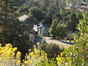
Pine Mountain Club scenery. Photo by George Garrigues, CC BY 3.0.
Pine Mountain Club scenery; George Garrigues, CC BY 3.0.

Pine Mountain Club

Nearby Frazier Park options linked

CC BY 3.0

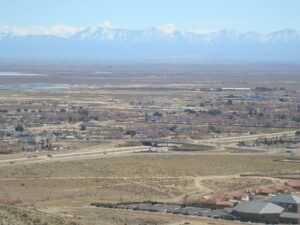
Overview of Ridgecrest, California. Photo by Qfl247, CC BY-SA 3.0.
Overview of Ridgecrest; Qfl247, CC BY-SA 3.0.

Ridgecrest

Local practice directory

CC BY-SA 3.0

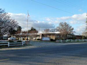
View of Rosamond from an adjacent hill. Photo by SkiDragon, CC BY-SA 3.0.
View of Rosamond; SkiDragon, CC BY-SA 3.0.

Rosamond

Nearby California City option linked

CC BY-SA 3.0

Aerial overview of Bakersfield and Kern River, photographed by Dicklyon CC BY-SA 4.0
Regional Bakersfield aerial, not a Rosedale streetscape; Dicklyon, CC BY-SA 4.0.

Rosedale

Bakersfield directory linked

CC BY-SA 4.0

Shafter Cotton Research Station in Shafter, California, photographed by Bobak Ha'Eri, CC BY-SA 3.0.
Shafter Cotton Research Station; Bobak Ha’Eri, CC BY-SA 3.0.

Shafter

Local dental office listed

CC BY-SA 3.0

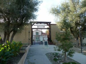
The Fort, Taft, California, photographed by Bobak Ha'Eri, CC BY-SA 3.0.
The Fort in Taft; Bobak Ha’Eri, CC BY-SA 3.0.

Taft

ADA listings shown with source

CC BY-SA 3.0

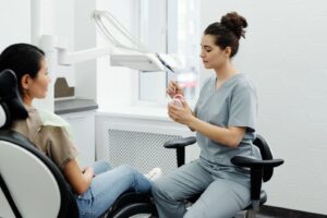
Licensed editorial photograph: provider explains oral care using teeth model
Illustrative dental care consultation; not a Tehachapi office.

Tehachapi

Local practice directory

Pexels

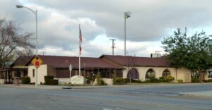
Wasco City Hall in Wasco, California. Photo by Bobak Ha'Eri, CC BY 3.0.
Wasco City Hall; Bobak Ha’Eri, CC BY 3.0.

Wasco

Local dental office listed

CC BY 3.0

How to use these listings

Before making an appointment, confirm the exact office address, current hours, availability, services at that location, and insurance participation. Request an estimate and verify coverage with the practice and your plan. A nearby provider that says it serves a town is identified as being in its actual office location.

This directory is not a ranking, an endorsement, or clinical advice. Report outdated details through our correction link.